What are Underground Services?
There is a whole world of infrastructure that has been placed underground to provide services for our day to day lives such as power, water, internet, gas, sewer etc. There are many terms to describe underground infrastructure including services, assets, utilities, or more simply underground cables or pipes. Due to the large number of assets underground the network is complex and intricate making design and excavation around existing infrastructure difficult. Hitting and damaging existing subsurface structures could spell disaster for a project. Therefore, ALL services need to be accurately located by identifying their alignment and depth at the design phase of a project, any later could lead to increase risk and costs. Here some examples of the unseen excavation obstacles.
- Communication Cables
- High and Low-Voltage Electrical Cables
- Gas Lines
- Sewer Lines
- Water Lines
- Drainage Lines
- Stormwater Lines
- Fuel Lines
- Iron Pipes
What is Underground Service Locating?
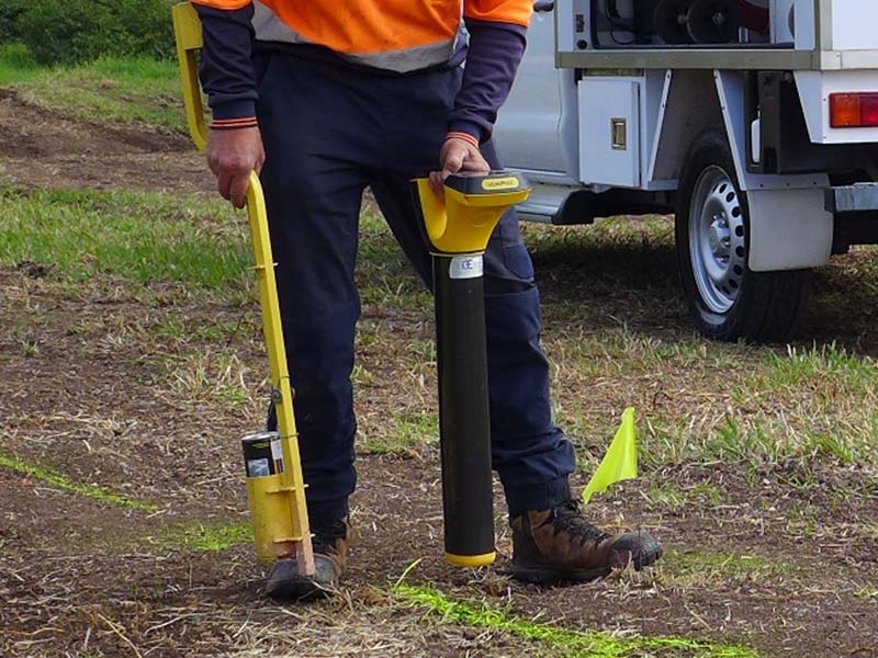
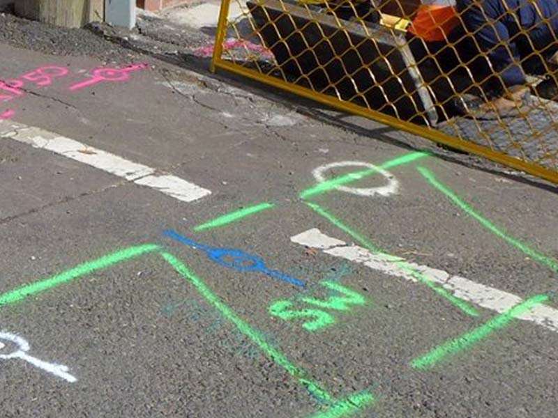
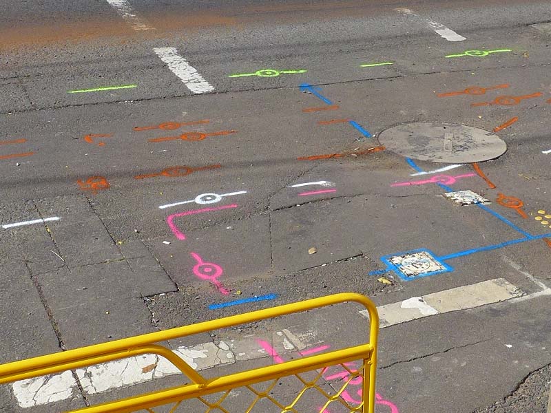
Underground service locating is a process to identify infrastructure buried underground. The process follows the AS5488-2013 ‘Classification of Subsurface Utility Information’ and includes the stages of planning, preparing, potholing and protection. It is achieved by a combination of different methods and devices, including electro-magnetic locating, Ground Penetrating Radar, and potholing or strip trenching via vacuum excavation.
How are Services Located?
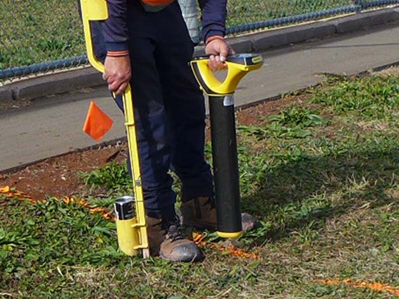
Depending on the materials' conductivity, density and composition of the soil, and depth of the underground assets, methods involve use of electronic locators with varying frequencies and Ground Penetrating Radar (GPR). Low-frequency locators can identify relatively shallow pipes and cables. For conductive utility lines, medium-frequency locators are utilised. High-frequency locators are used when the utilities are difficult to detect, due to their depth and insulation. GPR equipment is used to identify non-conductive materials and potential voids and cracks in the earth that could signify instability in the ground. Once all the services are identified and marked, visual validation needs to take place with vacuum excavation. Potholing is the least non-destructive digging method and exposes parts of the identified services through small holes to confirm position and depth.

Low-Frequency Utility Locator
- Suitable for locating pipes or cables that are clear of obstructions
- Can travel long distances in ideal conditions
- Not suitable for soil or sites with high resistance

Medium-Frequency Utility Locator
- Suitable for utility lines that are conductive
- Less likely to pick up ambient noise
- Ideal for locating services within a reasonable distance and relatively good soil conditions

High-Frequency Utility Locator
- Ideal for locating utilities that are more difficult to detect
- Can detect utilities through resistant materials underground (e.g. rubber coatings or insulations)

Broad Range Transponder Locator
- Capable of locating different types of transponders
- Suitable for projects that involve transponders and similar marking equipment
At Utility ID we ensure all underground services are located and validated by utilising the latest in Ground Penetrating Radar (GPR) and electro-magnetic location technology and hydro vacuum excavation. We have been providing Toowoomba and surrounding regions with Dial Before You Dig-certified underground service locating solutions since 2014, and our team has more than 20 years of combined industry experience guaranteeing our clients of an industry leading facility.
If you need underground service locators for your next survey and design, or construction project contact us today!

